Terradata
Home
About
Projects
Datasets
More
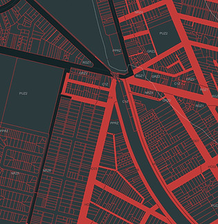
Cadastre
Provides a national dataset of cadastral parcels linked to land titles
Planning
Details potential developments by standardising planning zone codes across Australia, integrating with Cadastre for parcel-level mapping.
Geological
Historical borehole lithology across Victoria
Australian Mining Data
Historical mine locations, mineral assets, and depths.
Get a quote
Thanks for submitting!